
Conservative remapping
Preserve What Matters as Resolution Changes
Scroll horizontally to view the complete diagram on a small screen
Used where totals or area-weighted quantities must remain consistent between source and target grids.
Featured Example
A preview of a more disciplined GIS workflow for transforming weather and Earth-system data across mismatched grids, coordinate reference systems, resolutions, and observation geometries.
Why we feature it
Omni Gridder demonstrates a class of problem we solve and the standard we bring to it. The production architecture, method-selection logic, and safeguards remain proprietary and are scoped to each engagement.
A file can open cleanly and still be wrong for the intended analysis
The difficult part is not moving values. It is preserving their meaning.
Before Omni Gridder
Moving a single weather or Earth-system field between GIS grids could require repairing coordinates, reconciling metadata, and passing intermediate files through several applications before the result could be checked.
Those tools remain useful. The difficult part is managing the handoffs: hidden defaults, inconsistent geometry, and quality checks performed only at the end. Omni Gridder is being built to bring that work into a controlled, documented, and repeatable workflow.
Coordinate Geometry
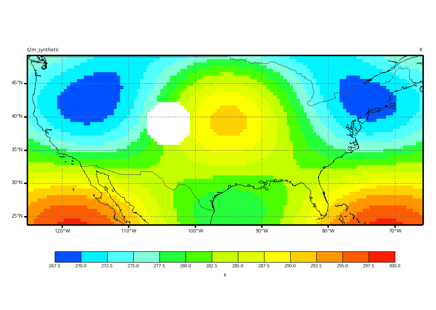
This controlled geospatial regridding example holds the synthetic field constant while its geometry changes. It reveals the challenge Omni Gridder is designed to solve—not the production logic behind the result.
Source
Latitude–longitude geometry
Destination
Same field, operationally useful geometry
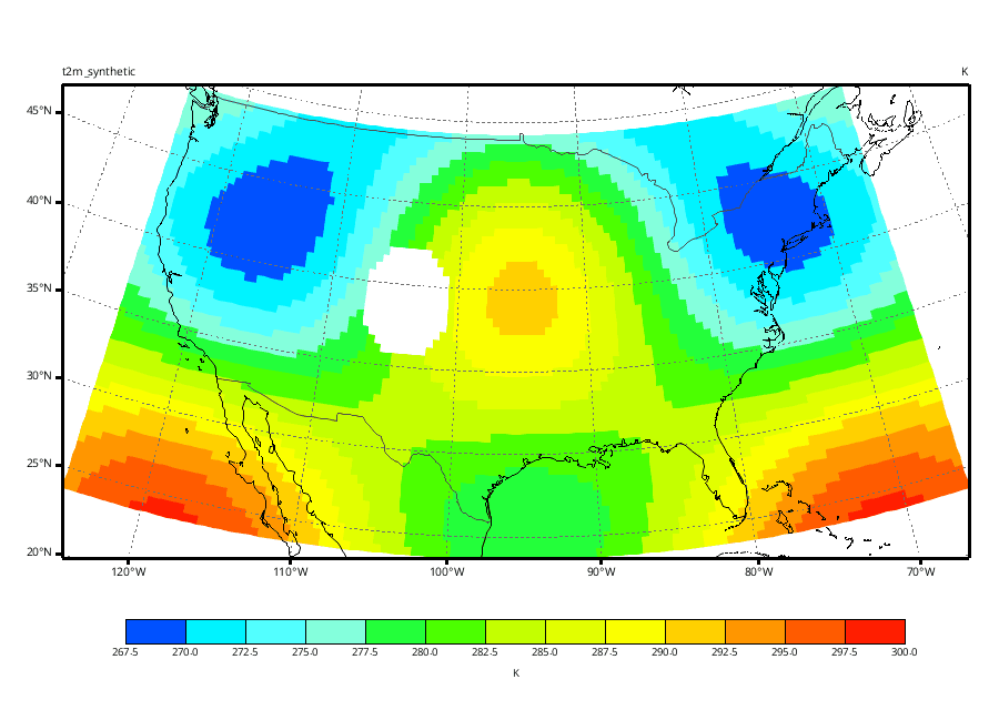
Illustrative preview. Production workflows include method selection, safeguards, and verification not shown here.
Where method matters
Familiar methods such as nearest-neighbor and bilinear interpolation remain useful. Omni Gridder is aimed at the harder cases—where resolution, physical meaning, or observation geometry makes a visually plausible answer insufficient.
Conservative remapping
Used where totals or area-weighted quantities must remain consistent between source and target grids.
Elliptical Weighted Averaging (EWA)
Suited to satellite swaths and other geolocated observations whose footprints do not behave like a conventional source grid.
Planned extensions include spherical harmonic transforms and other scale-aware methods.
Aetheris Vision
Omni Gridder is one example. If data preparation, model interpretation, or a fragile scientific workflow is slowing your project, tell us what the finished result needs to do. Project workflows are documented for future reruns, while client data are transferred or removed under the agreed retention terms.