
Aetheris Vision LLC
Weather AI &
Geospatial Consulting
AI Weather Forecasting GIS & Geospatial Regridding Earth-System Data Pipelines
For research teams, government programs, and companies that depend on weather, climate, and Earth-system data.
Principal-led consulting grounded in more than 35 years across operational weather, scientific analysis, software delivery, and research.
Our Offering
Science to Delivery
Projects often stall where science meets delivery. This is where Aetheris Vision steps in.

Expertise
Systems & Process Expertise
More than 35 years across operational weather, scientific analysis, AI/ML, and software delivery — applied to your data, models, and workflows.
Delivery
On-Time Project Management & Delivery
Scope, schedule, and terms agreed before work begins — and the person who scopes the engagement stays directly involved through delivery.
Technology
Omni Gridder
In-house regridding technology, applied within engagements to move weather and Earth-system data between grids, formats, and projections while preserving scientific meaning.
How We Work
From Scope to Delivery
We begin with what your project needs and where focused support can make the greatest difference.
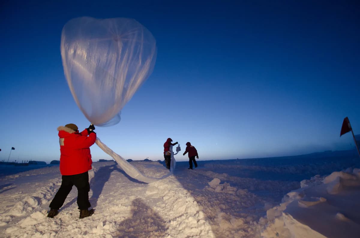
Scope, responsibilities, timing, commercial terms, and data handling are agreed before work begins. Aetheris Vision stays directly involved through delivery, keeping the work focused, timely, and documented for future use.
Project workflows are documented and preserved for future reruns. Subject to source-license terms, acquired data and agreed deliverables are transferred to the client; our working copies are removed on the agreed schedule. Managed reruns, longer-term storage, and continuing support can be included in a service agreement.
Project-Ready Data
Geospatial Data, Ready for Use
GIS and geospatial data preparation can consume a significant share of a project's schedule and budget before analysis begins.
Source data may be readily available and still difficult to read correctly. GRIB, BUFR, NetCDF, HDF, and other scientific formats can be handled within one coherent workflow. The real work is preserving meaning through GIS reprojection, spatial interpolation, resampling, and movement between grids, coordinate systems, and resolutions.
Aetheris Vision can acquire and curate the data, perform the transformation, and deliver the result in the format, grid, coordinate reference system, and resolution your project requires. Before full production, you can review a representative sample. Delivery includes documentation of the data sources, transformation steps, assumptions, and any measurable change introduced by regridding or resampling.
Selected Example · Omni Gridder
Regridding Made Simple
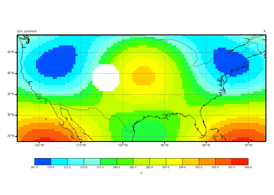
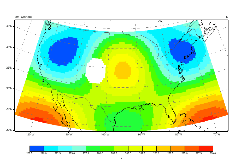
Omni Gridder shows how Aetheris Vision approaches geospatial regridding: moving weather and Earth-system data between GIS grids while preserving scientific meaning. The public demonstration shows selected inputs and outputs; the production methods remain proprietary.
Live from Orbit
The Atmosphere, Now
Weather does not wait, and neither does the data. These NOAA GOES views refresh throughout the hour — the same class of live Earth-system data that Aetheris Vision's consulting, data curation, and applied AI work runs on every day.


Live NOAA GOES-East and GOES-West GEOCOLOR full-disk imagery, courtesy NOAA/NESDIS. Refreshes automatically. Not Omni Gridder output.
Your Project
Need Specialist Support?
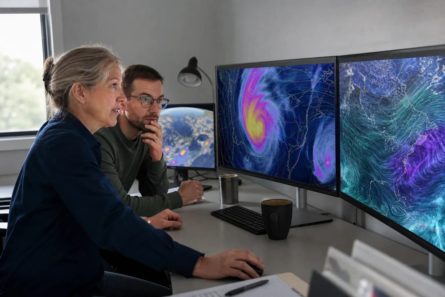
Tell us where specialist support would make the greatest difference. Aetheris Vision takes on focused scientific and technical work to help your project move forward efficiently and on schedule.